Find Your Deer Faster with Thermal Drone Technology

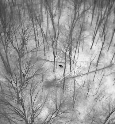
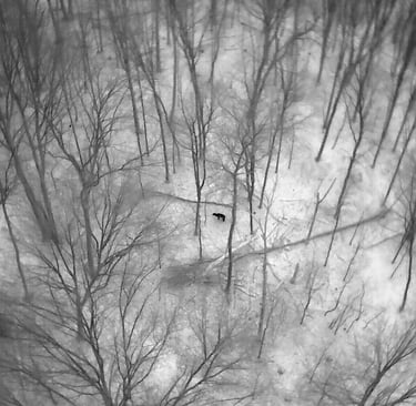
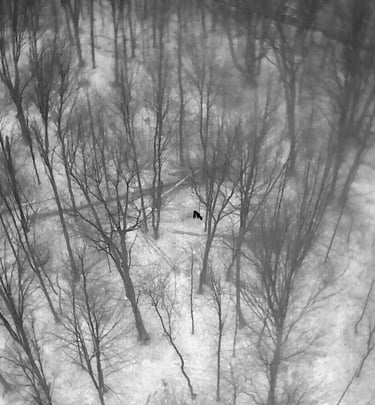
At Wisco Drone Services we use advanced thermal drone technology to help hunters locate wounded deer quickly and efficiently. By scanning large areas from the air, we can detect heat signatures that are nearly impossible to find from the ground, increasing the chances of a successful recovery. Our approach minimizes disturbance to the animal and surrounding area while helping you recover your deer with confidence. Serving Northeast Wisconsin including Marinette, Oconto, Green Bay, and surrounding areas.
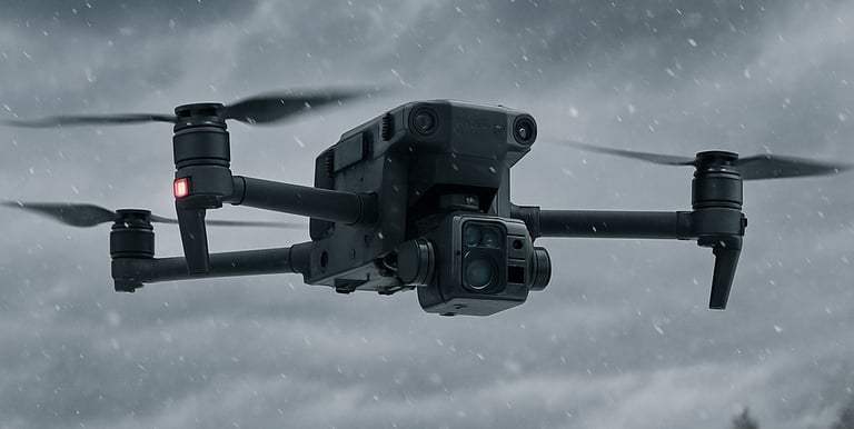
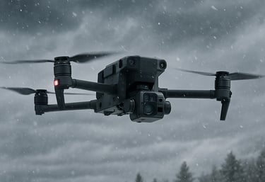
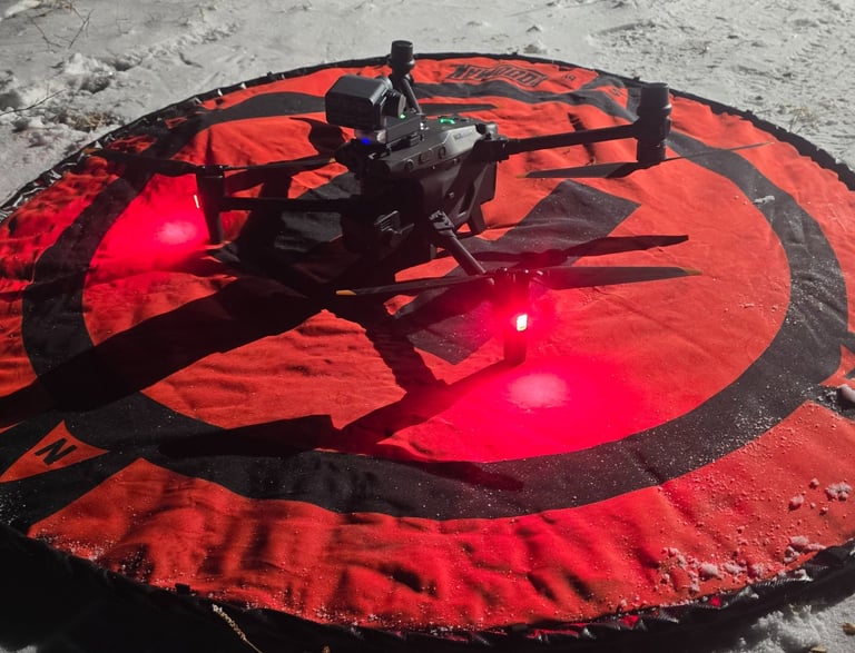
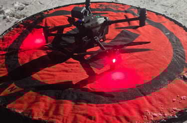
Professional thermal imaging drone flying through snow over a winter forest landscape.
Three hunters posing with a harvested whitetail buck and thermal drone in the snow.
Thermal Drone

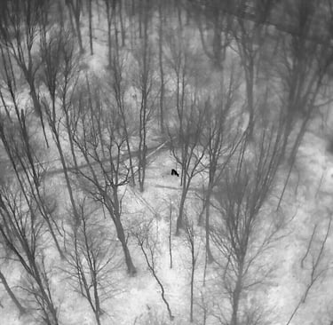
We use drones that use infrared technology to detect heat signatures, allowing us to locate wounded deer even in thick cover, tall grass, or low-light conditions where traditional tracking can be difficult.

Expert Operators

Licensed and experienced drone operators specializing in wounded deer location, using thermal technology to find animals quickly and without unnecessary disturbance.
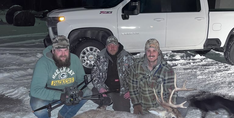
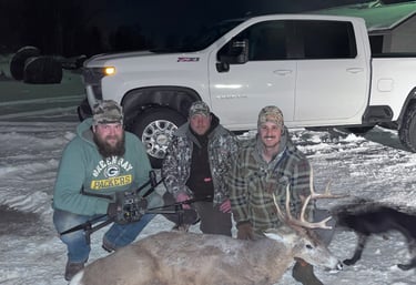
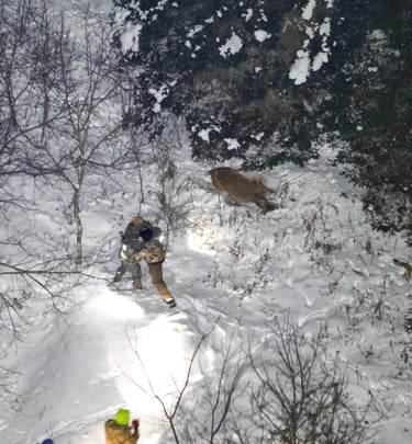
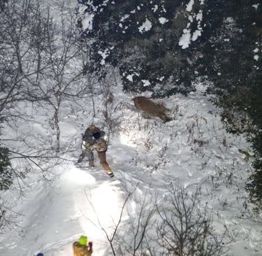
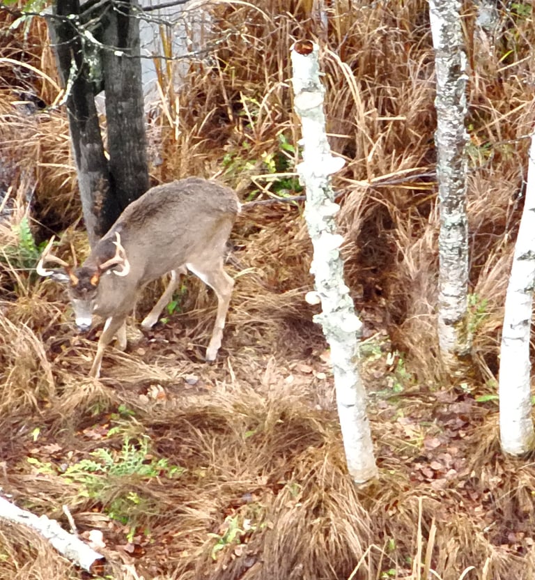
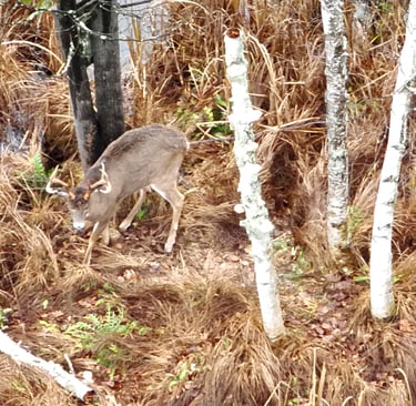
Gallery

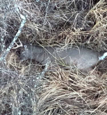
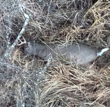
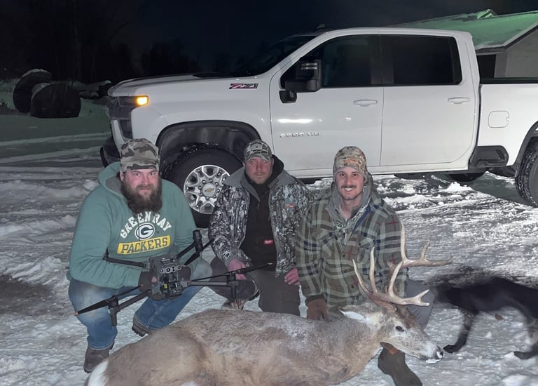
Snapshots from our deer recovery missions

An aerial view of hunters tracking a deer in a snowy forest landscape at night using flashlights.
A white-tailed buck with antlers walks through brown autumn grass near white birch trees.
Aerial thermal drone image of a deer walking through a snowy winter forest with bare trees.
Aerial view of a deer walking through a snowy forest with bare winter trees.
Recovered Buck After Short Flight with Thermal Drone

Projects

Using thermal drones to locate wounded deer and deliver accurate aerial herd counts for better population insight.
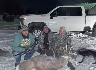
Three hunters posing in the snow with a harvested buck and thermal drone near a white truck.
Deer Recovery

On-site drone flights to locate wounded deer
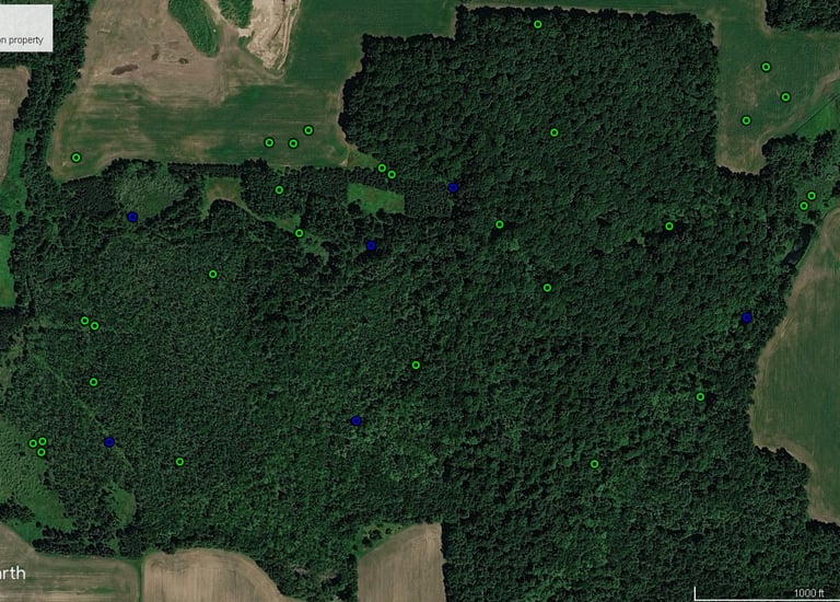
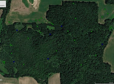
Aerial Google Earth satellite map of a forest property showing marked deer locations.
Herd Analysis

Thermal drone deer herd counts

Get in touch

Reach us anytime for help with deer recovery.

Professional quadcopter drone on a red landing pad at night in a snowy field with glowing red LED lights.