Our Services
Wisco Drone Services offers expert aerial photography, inspections, mapping and deer recovery assistance. Serving Northeast Wisconsin and surrounding areas.
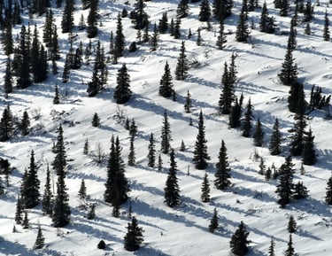
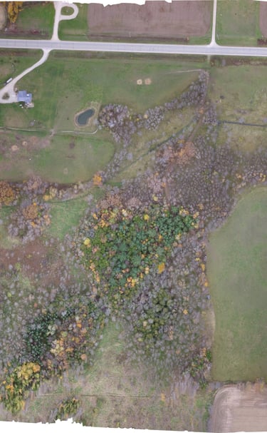
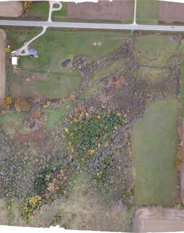
Drone Mapping & Aerial Imaging


We use drones to take detailed aerial images and turn them into maps and 3D models, making it easier to measure, plan, and understand your land.
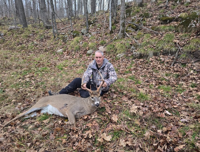
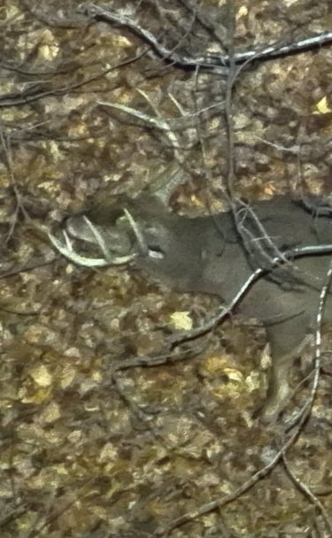
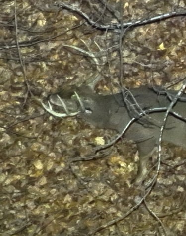
Deer Recovery
Thermal drone location of wounded game.
Custom drone flights designed around your project, providing flexible aerial solutions for footage, mapping, inspections, and more.
Custom Flights
Whether for real estate or other projects, we provide high-quality aerial photography that delivers clear, impactful visuals.
Aerial Photography
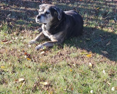
Lost Pet Search
Thermal drone search services to help locate lost pets quickly by covering large areas from the air, improving the chances of a safe recovery and bringing them home.
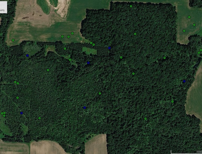
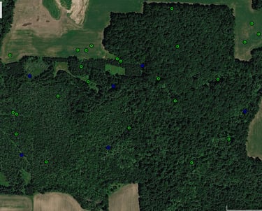
Aerial Deer Herd Counts
We use drones that use infrared technology to detect heat signatures, allowing us to locate wounded deer even in thick cover, tall grass, or low-light conditions where traditional tracking can be difficult.
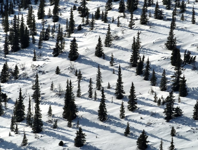
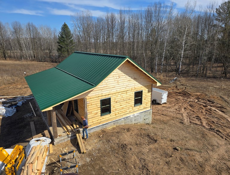
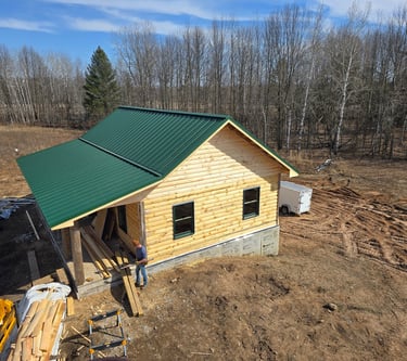
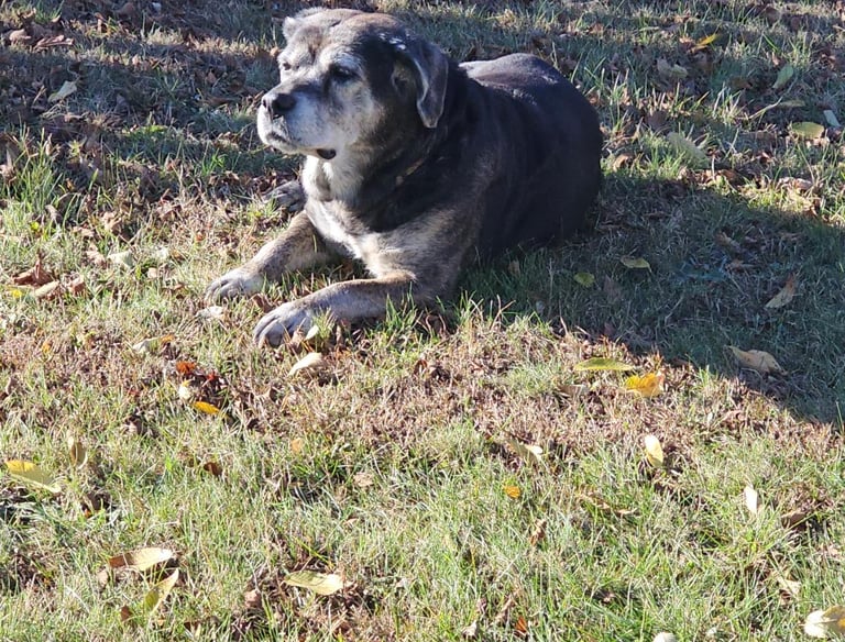
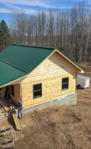
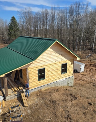
Our Work
Snapshots from Wisco Drone Services in action.


Get in Touch
Questions or requests? Reach out to Wisco Drone Services anytime.
Call Now
Contact
Reach out for drone help or deer recovery
Call now
© 2025. All rights reserved.